
Soon after we got our room in Vatopedi we started our walk to Skiti Dimitriou, a place I wanted to visit for a long time.
This is the route we took: see the two maps of MotionX-GPS and Zwerger map.


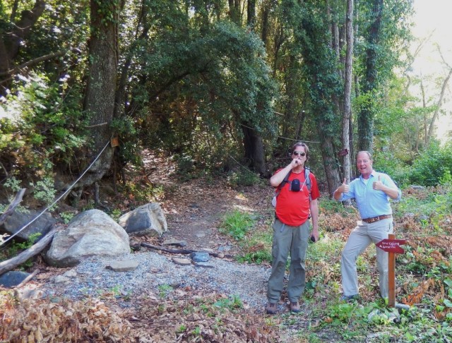 Soon after leaving Vatopedi we found the monopati to Skiti Dimitriou. This path also leads to Kelli Agio Prokopio.
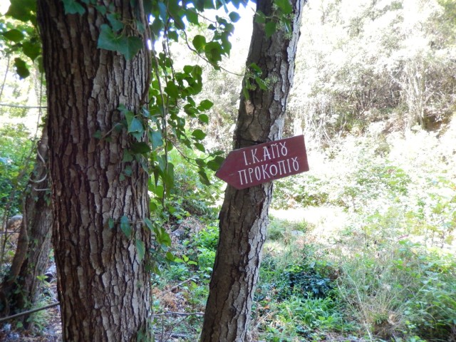
Here the path splits: to the right leads to Karyes and the left it continues to Skiti Dimitriou

This picture shows the junction aof two dirt roads:

This picture is shot at the blue pin nr 1 in the map below:
 An open space near Skiti Dimitriou, soon after this spot we left the valley called Kéma Platanara (see Zwerger map), where we found these aquaducts in the forest (see second blue pin in the map above).


 We turned towards the left into another valley: soon after we arrived at the smal kellion of father Nectarios, the caretaker of Skiti Dimitriou (third blue pin in the above).
 The kellion of father Nectarinos
 The view from the kelli: Skiti Dimitriou.
Wim, 15/12 (next time more about father Nectarinos)