
I am probably one of the worst pathfinders you can find. Our plan was to hike to Docheiariou and try to walk over as many monopati’s as possible. With the new map of Peter Holworth in our rucksack we left from Konstamonitou. A monk told us just before leaving that is was very easy to find a monopati leading to Docheiariou: “No problem”, he said.

Well, this turned out quit different: only the last few hundred meters, with Docheiariou in sight, we finally found the monopati that we had been looking for. But in hindsight it would not have been easy to find the right track and I think there is a huge job to be done for the Footpath team of the Friends of Mount Athos this year!
Let me show what happened, but first a picture of more than 10 beehives of Konstamonitou, along the dirt road leading to the sea/the arsanas.

One of the most important things (when you don’t want to get lost immediately after starting your hike) is to find the correct path right away. We decided to take the dirt road, expecting that we would find a turn to monopati soon, but making that decision, we already made our first big mistake. Let’s first have look at a detail of the new map of Peter Howorth.

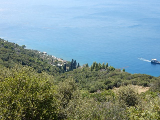
If you look at the map it looks logical to follow the white road leading from the monastery to the coast. But you also can see black dotted line (a path) with a red color leading to the South and away from monastery going landinwards. This is the path that we should have chosen to walk monopati’s (but eventually it would have given us lots of troubles), but I’ll first show you the route we walked (see Wikiloc).


On the map below you can see where I took my photo’s:


Just before the solar power plant (point D) the dirt road makes a sharp turn:

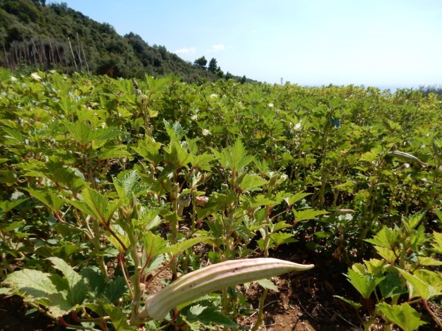
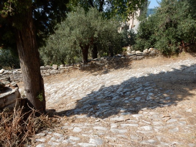
But before going to see the solar energy panels we found this new garden (point C):


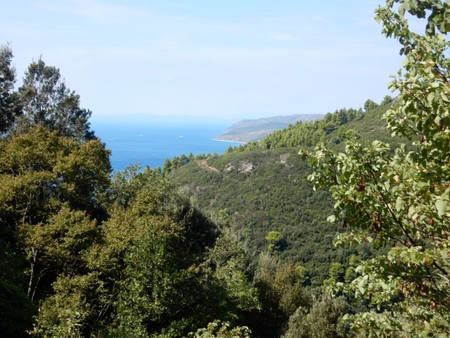
The dirt road going down through a valley: we were still waiting to find the first traces of a monopati leading to the monastery…….

And than, finally, at point D, not a monopati, but a well kept kalderimi path appears! Here the camera points to the East: where does this path goes to?

on the map below I drew a red line where according to me the kalderimi might lead to. Isn’t it beautiful job for the FoMA footpath team to find out if the monopati to Konstamonitou might still exist and can they maybe re-open it?


Wim, 31/1
The path led from Dochiariou to the ridge from where you can continue to Karyes, Esfigmenou or Vatopedi. Only the first part is footpath and then when you cross the large road coming from Dochiariou you go right along the road (not straight up as you show in your sketch), as indicated by the red line in Holworth’s map. It is overgrown and there are signs (FoMa?) to deter hikers from following it, but it is still open (we walked it in October). Otherwise there is no other path from Kostamonitou to Dochiariou (apart from the coastal one).
I prefer the route via Konstamonitou arsanas. It contains a long strech of footpath (from Konstamonitou to the olive groves above Konstamonitou’s arsanas). Then the route follows the costal tracks very close to the shore. This is the route FoMA recoments at its site (List of Mount Athos Footpaths with Conditions,Walking Times & Links to Descriptions and GPS Tracks). I strongly recomend to use the FoMA pathdescriptios as they are very detailed, updated and also contain gps tracks.