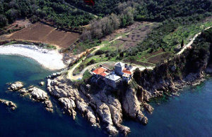
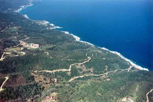
Photos must been taken between 1950-1960.
First have a look at Mylopotamos.

The vineyards are not yet cultivated by Father Epifanios.

The buildings of Panteleimonos are relatively intact.

And the same goes for Skiti Andreou, the buildings are still in good shape.
This view of NE-cost and the monastery Karakallou is interesting, because the building in the lower part of the picture seems the be the “mystery” building called Timiou Stavrou, that once belonged to Ukrain Russians form Odessa (see 798 and 702.
But it doesn’t mean Athos gave away all of its mysteries. What about this cell/kellion:

I really don’t know where these buildings might be found and what its name is.

You can see cultivated land, a waterbasin, three large buildings and a ruin in between them. In the ruin you see the remaines of something that looked like a tower (?).

The question is if this settlement is still in use, estimating that the picture is taken 50/60 years ago?
Again I have to appeal to our readers, who knows more about this building?
___________________________________________________________________________________
Here is the answer:

Giannis helped me out, thanks!
You can find this kellion also on picture nr 4, in the lower right corner.
Wim, 10/01/10


Kelli Agios Artemios, Provata
http://agioritikesmnimes.pblogs.gr/2009/02/113-to-i-kelli-toy-agioy-artemioy-sthn-probata.html
http://clubs.pathfinder.gr/kellion/1263878
Nice pictures, yes, but be careful: the text/name of a monastery is not always correct.
Not correct: the name of a monastery in the English part of the site, I mean, does not match the picture.