
This year I booked a flight above the peninsula of Athos to take aerial pictures. Because of busy times at work I was not able to sort out all the pictures, that’s why it took some time to share them with you. In totall I made 452 pictures during this flight of more than two hours, and a video, which has also has to be edited yet. Our hight was about 1300 feet (about 400 meters).
To make a start I will first show you the aerial pictures of the twenty monasteries, in its original “Athos”-order: 01 Lavra
 02 Vatopedi
 03 Iviron
 04 Chilandariou (and its Pine-forrest: read the last post of Bas Kamps)
 05 Dionysiou
 06 Koutloumousiou – in the background. We followed the coastline and did not fly over land.
 07 Pantocratoros
 08 Xiropotamou
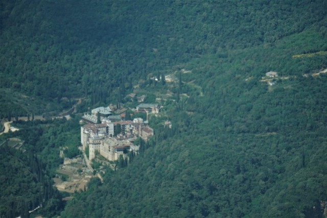 09 Sografou – photo by Jitze Bakker, who joined me together with Tadeusz
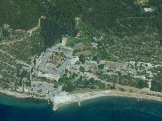 10 Docheiariou
 11 Karakallou
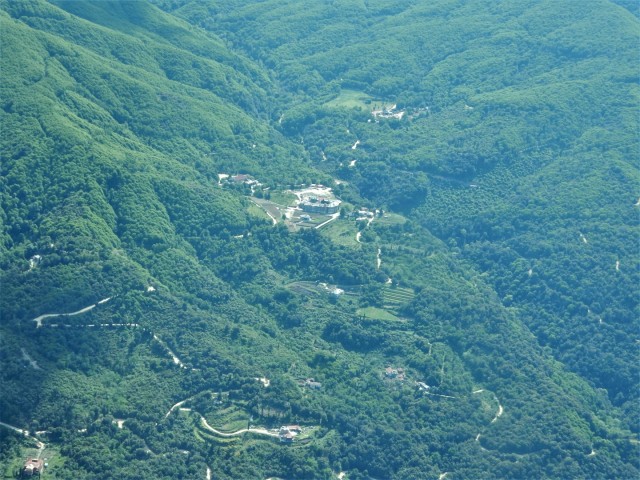 12 Filotheou
 13 Simonos Petras
 14 Pavlou
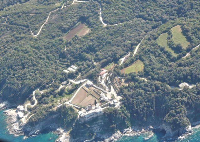 15 Stavronikita
 16 Xenofontos
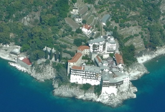 17 Grigoriou
 18 Esfigmenou
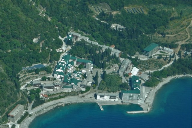 19 Panteleimonos
 20 Konstamonitou – in the far right corner of this picture.
More about this flight, the pilot and how to book it in a next post.
Wim Voogd, 19/8