The day before we started our 2013 Athos pilgrimage I had the opportunity to rent a bike in Ouranopoli (one morning only € 5,00, a whole day € 12). With the help of an App I could track the route I followed, although I started a little to late with recording on my way back (see blue pin with black dot). My aim was to reach the other side of the peninsula and have a look at the border overthere.
At first I cycleled to the border near Zygou (Frankokastro), but the path I remembered climbing up the mountain along the border was totally overgrown, so I had to turn back and I was lucky to find a path/road leading up to the other side of the peninsula.
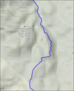
The path leading upwards starts on this detailed map at the word “Epar.”
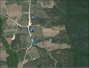
A second new gadget that I used is my new Nikon 9500 GPS camera. As you can see on the next picture it shows you where the pictures were taken:
The picture shot on the place on the map, were you the bigger blue pin, is this one:
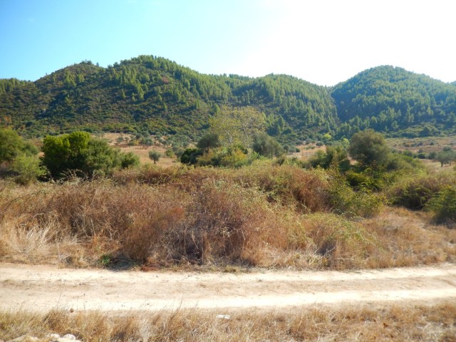
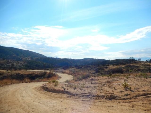 This picture gives you an idea of the fast area that was burnt in 2012. Today tree loggers are cleaning up the burnt hillsides, leaving their marks on the landscape with ugly dirt roads.
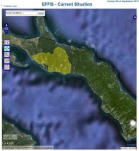
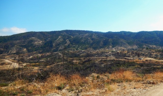 The burnt hills at the Athos border with new dirt roads. Below a map from the Keliotes site, showing the huge area that was burned by the fire.
I took a panorama picture of the surroundings:
Here you can clearly see how the Athos border nowadays forms a natural border to the Greek mainland, because the mountains immediately rize to a height of approx. 200 meters (and they are steep and not easy to climb)!
The next panorama gives you even a wider view of almost 360 degrees, with the Amouliani Island on the left. Try to image to curl the photo around you in a circle.
 If you follow the road towards the Komitsa beach the green forrests start to reappear along the border.
The other side of the peninsula comes in sight:
 Along the road a dry well for sheep/goats
A dead-end trail leads to small houses or caravans just at the border
Some of the caravans have a real fence and gate (with Greek flags)
And at other places caravans share a piece of land

The next picture is near the junction (with five blue pins), where the road goes straight to the Komitsa beach and where it turns to the left Northwards to Nea Roda.
And finally I arrived at Komitsa beach, after about 8/9 kilometers cycling and reaching an altitude of 156 meters (and a losing lot of sweat in the high temperatures of September 22nd).
Wim, 9/10 (next time pictures of the border itself)



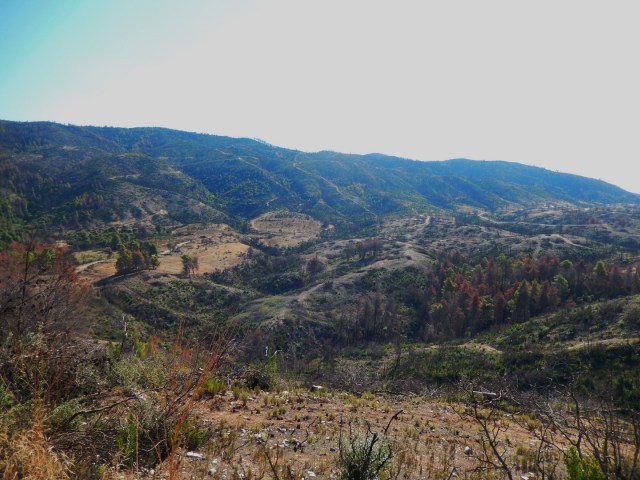


The footpath alongside the Athos border is not overgrown but the beginning of the path near Zygou is not easy to find because the rather new fences around the old ruins of Zygou are blocking the entrance of the path. The path is only reachable by going in the dry ditch, in winter a stream, and climbing out again.